The GIS Lab at the Environmental Studies Program provides GIS support to all members at Carleton. The Lab was created with the Spatial Analysis initiative at Carleton College in 2007. Check out the Spatial Analysis Website for GIS resources at Carleton, GIS data sources, learning resources, graduate programs and samples of work from the Carleton community.
The Lab recruits students mainly from the ENTS 120 (Introduction to Geospatial Analysis) course to assist providing support in the areas of geospatial analysis, geospatial data creation and wrangling, web app creation, map making, and field data collection with GNSS (Global Satellite Navigation Systems). The Lab also collaborates with community members on projects that serve the interest of the communities and provide learning opportunities for the student assistants.
The “Services” pages in this site show our work by the types of support we provide. The “Student Portfolios” pages show our work in the different areas in GIS. Please contact the GIS Specialist for your GIS support needs.
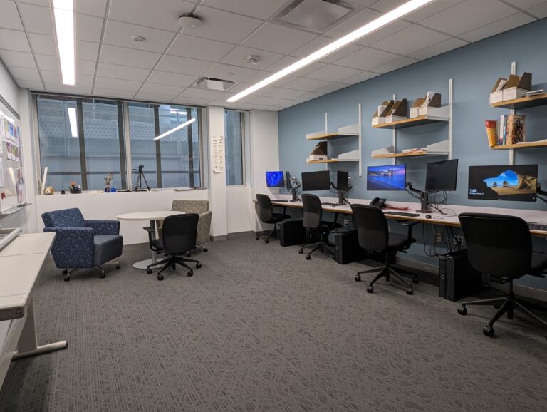
Located at Olin 202, the GIS Lab is equipped with five computers, a wide format printer and hard working student assistants.